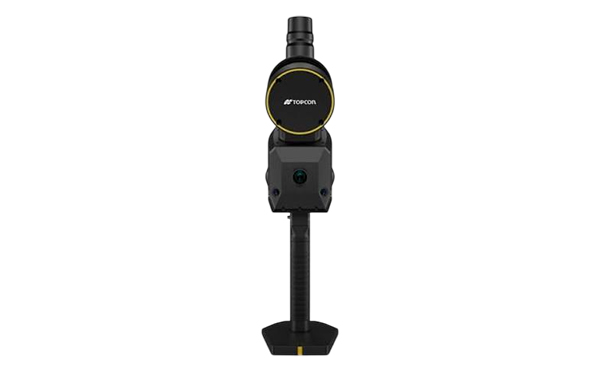
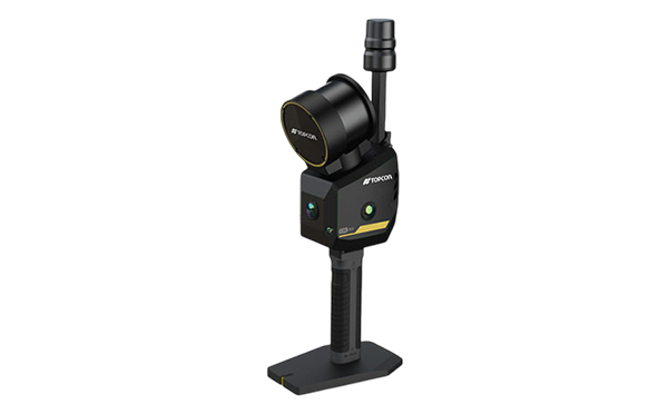
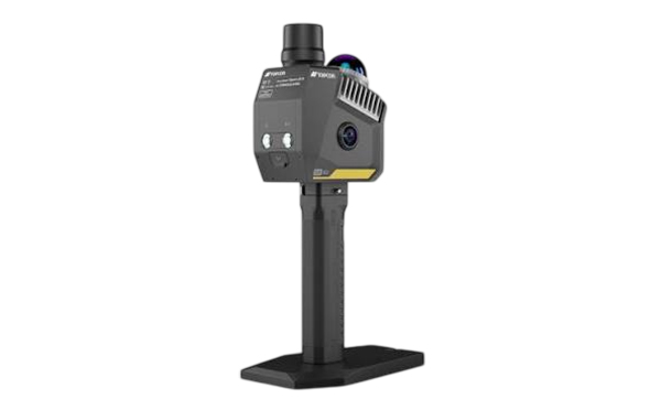
Topcon CR-S1

  • Portable Reality Capture
  • Advanced Multi-Sensor Fusion
  • Centimeter-Level Accuracy
  • Real-Time Data Preview
  • Extended Scanning Range
  • Connected Topcon Workflow

Description

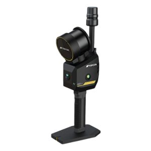
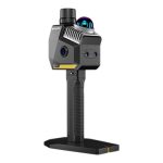
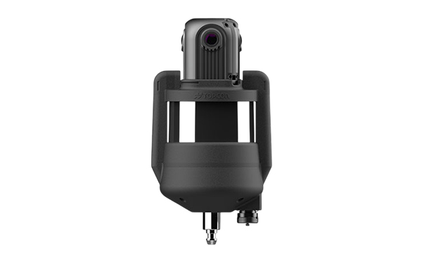
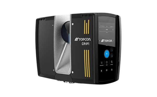
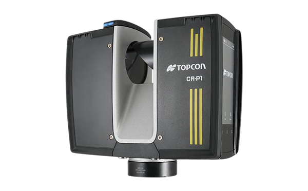
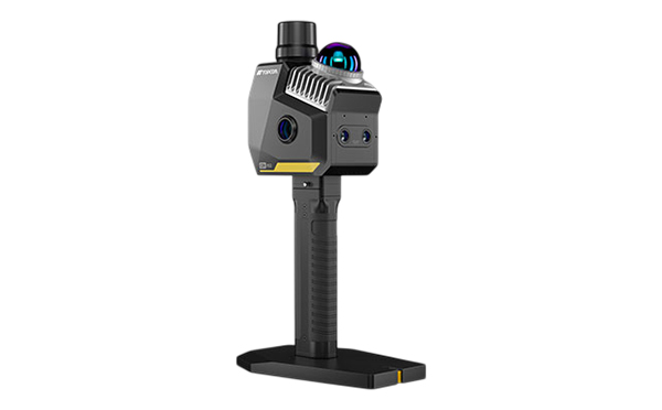
The Topcon CR-S1 is a portable 3D scanning system designed for fast, one-person reality capture across indoor, outdoor, and GNSS-challenged environments. It combines LiDAR, visual SLAM, IMU, and RTK positioning to deliver reliable, centimeter-level spatial data while you move.

With real-time processing, colorized point-cloud visualization, and Topcon software integration, the CR-S1 helps surveying, construction, and geospatial teams capture more data with less setup and fewer return visits.

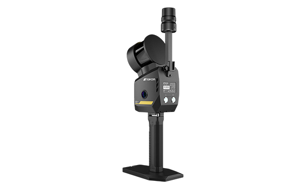
Scan Rate320,000 points per second
Detection RangeUp to 120 meters (393.70 ft)
LiDAR Accuracy0.5 cm (0.20 in.)
Field of View280° Horizontal / 360° Vertical
Laser905 nm Class 1 eye-safe
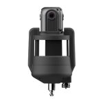
Imaging System3 panoramic cameras (12MP) and 2 VSLAM cameras (1.3MP)
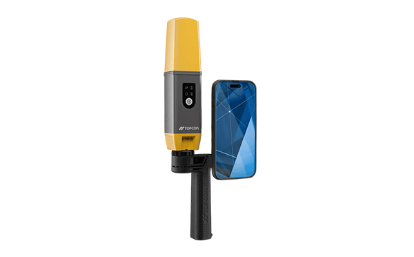
RTK AccuracyHorizontal: 0.8 cm + 1 ppm / Vertical: 1.5 cm + 1 ppm
Storage512 GB SSD
Battery LifeApprox. 2 hours per 3450 mAh battery
Protection RatingIP64 dust and water resistance
Weight2.2 kg (4.85 lbs) with base, battery, and RTK module
Dimensions345 × 187 × 120 mm (13.58 × 7.36 × 4.72 in.)

Related Products