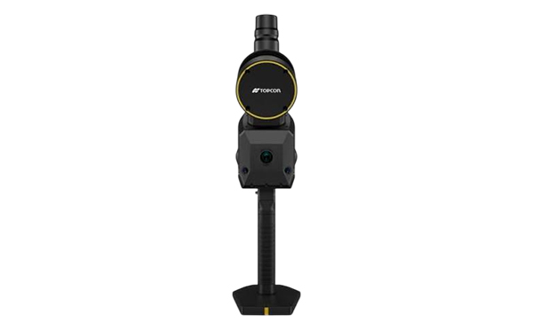
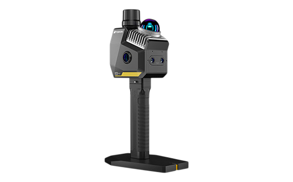
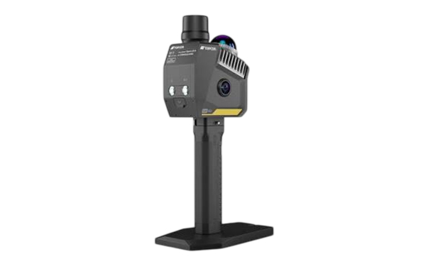
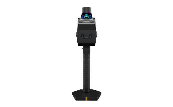
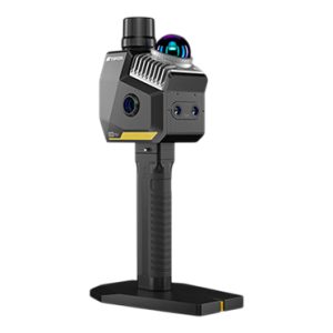
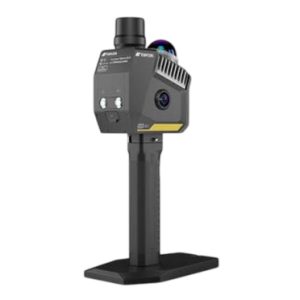
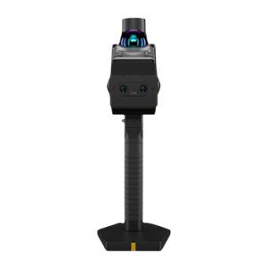
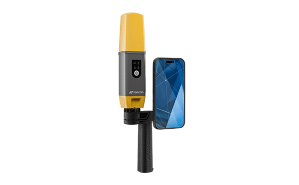
Topcon CR-S2

  • Multi-Sensor Fusion for Reliable Accuracy
  • Portable, Powerful, Built for Speed
  • Seamless End-to-End Workflow
  • Field & Desktop Software Integration
  • Real-time colorized point cloud

Description

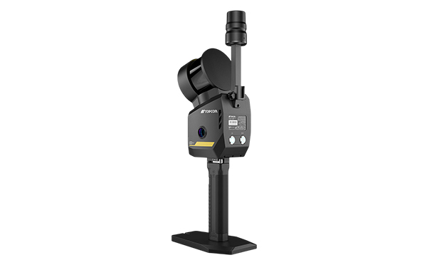
The Topcon CR-S2 combines MLF-SLAM (multiple localization fusion–SLAM), VSLAM (visual SLAM), and RTK-SLAM technologies. This integrated approach delivers stable, centimeter-level accuracy—even in areas where GNSS signals are weak or unavailable—by leveraging LiDAR, visual, IMU, and RTK data. High-fidelity point clouds and real-time colorized imaging ensure actionable results in a single workflow, minimizing return visits and rework.

Scan Rate200,000 Points per Second
Scan RangeUp to 70 m at 90% Reflectivity; 40 m at 10% Reflectivity
Field of View360° Horizontal / -7° to 52° Vertical
AccuracyLiDAR: 2 cm; RTK Horizontal: 0.8 cm + 1 ppm; Vertical: 1.5 cm + 1 ppm
Cameras2 × 1.3 MP VSLAM Cameras and 2 × 12 MP Panoramic Cameras
Weight1.3 kg (Including Base, Battery and RTK Module)
Storage512 GB SSD
Environmental RatingIP64 Dust and Water Resistance
Battery LifeApproximately 2 Hours per Battery
Operating Temperature-20°C to 40°C

Related Products