Description
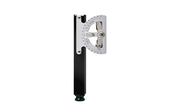
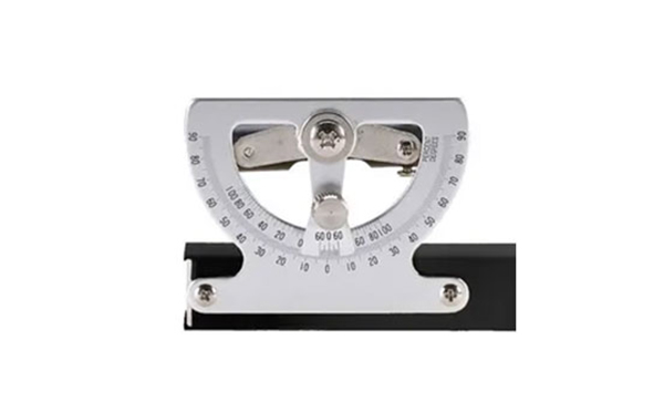
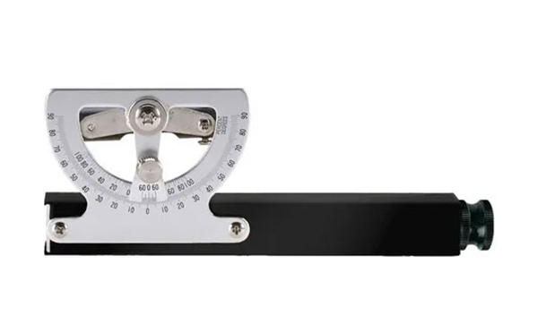
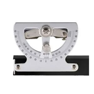
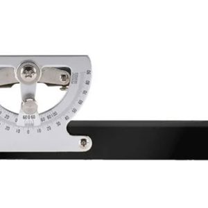
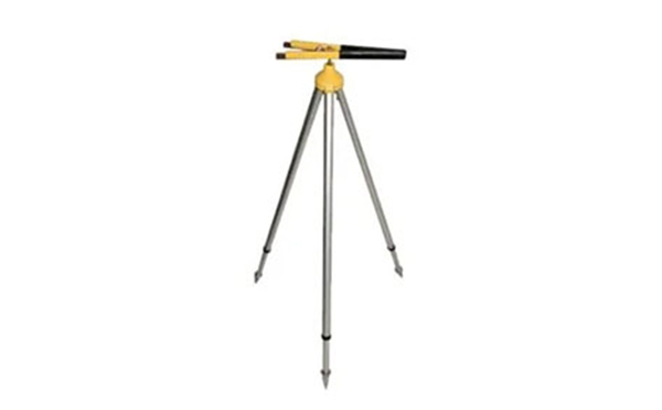
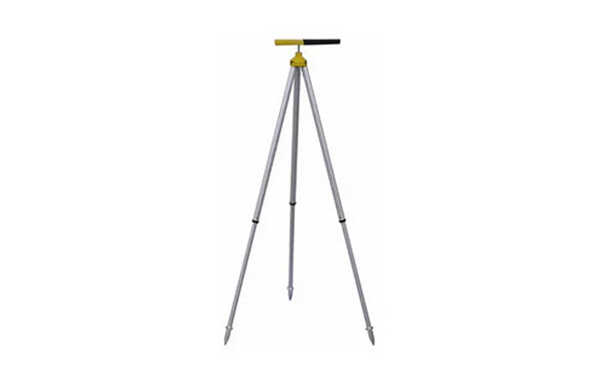
The Topographic Abney Level is a handheld surveying instrument that combines a fixed sighting tube, spirit level, and protractor scale to measure slopes, elevations, and grades accurately. Its internal mirror allows the user to align the bubble with the crosshair while sighting a distant target, enabling quick and reliable readings of incline or decline. Commonly graduated in degrees, percent grade, and even chainage correction (along the length of a surveyor’s chain), it allows real-time computation of horizontal distance from slope distance using simple trigonometry. Lightweight and portable, often small enough to fit in a coat pocket or mount on a Jacob’s staff, it’s ideal for rapid fieldwork. The instrument remains widely used in topographic surveying, forestry (e.g., tree height measurements), geology, and mine-road grading for its simplicity and reliability. Even today, it offers efficient slope assessment without needing power or advanced equipment, making it a preferred tool where simplicity and ruggedness are key.